
Best Drones for Property Line Surveys: 2026 Field-Tested Guide to Boundary Mapping UAVs
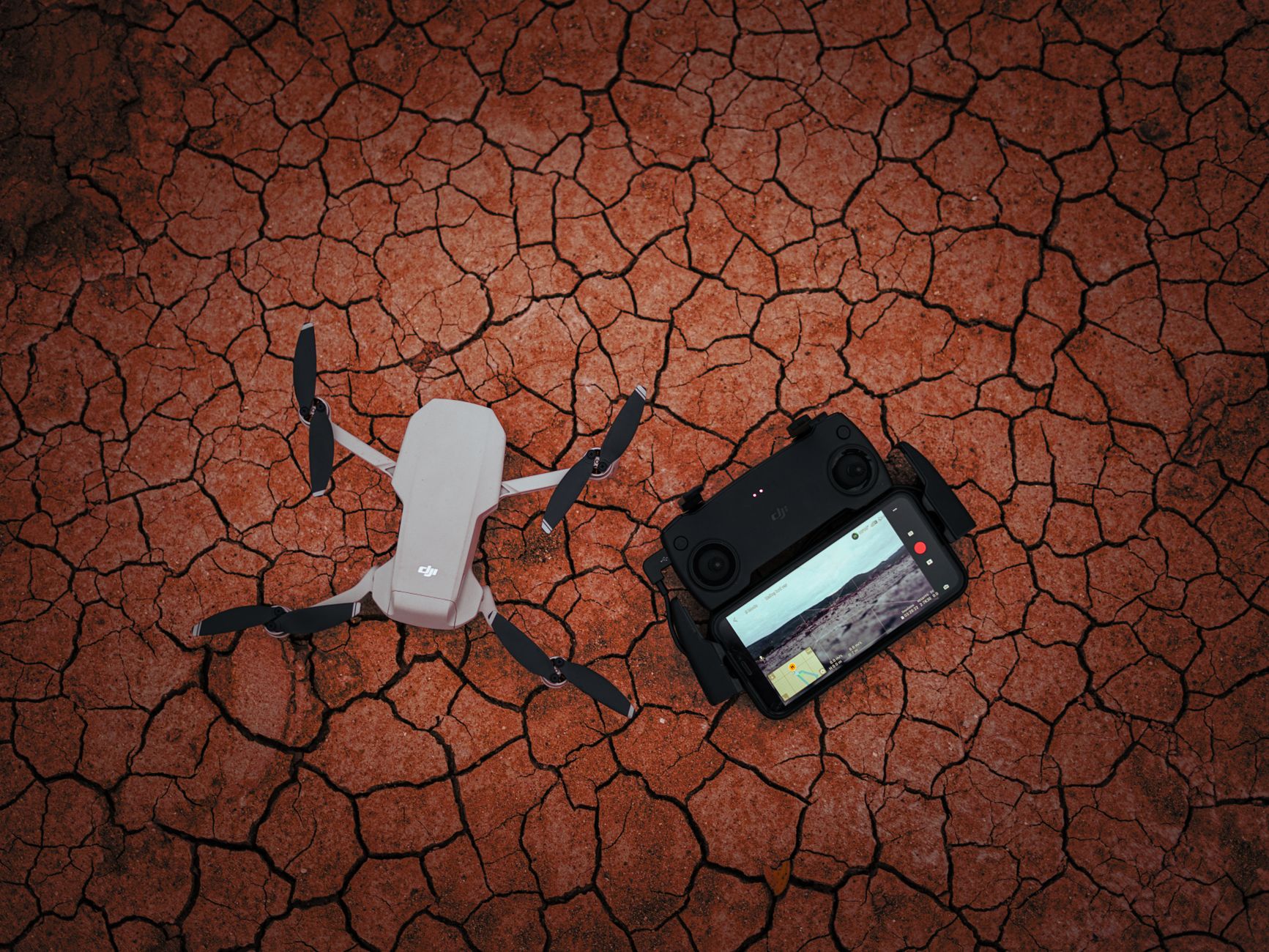
Boundary disputes are having a moment. With land prices climbing through 2025 and into 2026, county recorder offices and licensed surveyors report a noticeable spike in property line conflicts — and drones have quietly become the fastest way to get answers. What used to require a full ground crew, a week of scheduling, and a four-figure invoice can now be captured in a single afternoon flight. If you’re a landowner, realtor, fencing contractor, or aspiring survey pilot, finding the best drones for property line surveys is no longer a niche question — it’s a practical money decision.
Here’s the catch, though: not every camera drone can do survey-grade work. A pretty 4K photo won’t hold up when your neighbor disputes a fence line by 18 inches. You need centimeter-level positioning, the right mapping workflow, and realistic expectations about what a drone can and can’t legally tell you. This guide breaks all of that down, with specific aircraft, real accuracy numbers, and the workflow I’d use on my own land.
What Makes a Drone Suitable for Property Line Surveys?
Before we talk specific models, let’s define what actually matters for boundary work — because the spec sheet priorities here are very different from recreational flying.
RTK or PPK positioning is non-negotiable. Standard GPS in a consumer drone drifts 1–3 meters. That’s fine for vacation photos and useless for boundary work. Real-Time Kinematic (RTK) or Post-Processed Kinematic (PPK) modules correct positioning down to roughly 1–3 cm horizontal accuracy, which is the threshold where your map becomes genuinely useful for locating pins, monuments, and fence lines.
Mechanical shutter or high-quality global readout. Rolling shutter distortion introduces small but real errors into photogrammetry. Drones with mechanical shutters (or fast-readout sensors) produce cleaner survey data.
Terrain-following and waypoint automation. Property surveys demand consistent altitude and overlap — typically 75–80% front overlap and 65–70% side overlap. Manual flying won’t cut it on a 10-acre parcel.
Battery endurance. Boundary jobs often involve large rural lots. Anything under 30 minutes of real-world flight time means extra batteries, extra launches, and extra seam lines in your map.
One important legal note before we continue: a drone can document and approximate property lines with impressive precision, but only a licensed land surveyor can legally establish a boundary in most jurisdictions. Think of your drone as a powerful evidence-gathering and visualization tool — one that makes the surveyor’s job faster and your conversations with neighbors far more productive.
The Best Drones for Property Line Surveys in 2026
After looking at what’s actually being flown by survey crews and serious landowners this year, four platforms stand out.
DJI Matrice 4E — the professional benchmark. DJI’s compact enterprise flagship has become the default choice for small survey firms in 2026. Its 20MP mechanical-shutter camera, built-in RTK module, and roughly 45-minute flight time let you cover 40–60 acres per battery at survey-grade accuracy. Pair it with DJI Terra or export to Pix4D, and you’re producing orthomosaics with 2–3 cm absolute accuracy when using ground control. It costs real money — expect around $5,000 with the RTK setup — but it replaces equipment that cost five times that a decade ago.
Autel EVO Max 4T — the DJI alternative that keeps improving. Autel has aggressively courted the mapping market, and the Max 4T’s RTK performance has matured nicely. You get a 50MP wide camera, solid wind resistance (important on open rural parcels), and no geofencing headaches in areas where DJI’s system can ground you unexpectedly. For landowners in rural counties near restricted airspace, that last point alone can be decisive.
DJI Mavic 3 Enterprise (M3E) — the value pick. Still widely available and now discounted since the Matrice 4 series launched, the M3E remains arguably the best price-to-accuracy ratio in the industry. Mechanical shutter, RTK module, 56x zoom for inspecting corner monuments from altitude — it does 90% of what the Matrice 4E does for noticeably less money. If you’re a fencing contractor or realtor doing occasional boundary documentation, this is the sweet spot.
Fixed-wing options for big acreage. If you’re surveying ranch parcels over 200 acres, multirotors become inefficient. VTOL fixed-wings like the WingtraOne Gen II cover 300+ acres per flight with PPK accuracy, though at a price point ($20,000+) that only makes sense for professionals or co-op purchases.
The Workflow: From Flight Plan to Boundary Map
Owning the right drone is half the equation. Here’s the process that separates useful survey maps from expensive aerial photos:
-
Pull your legal documents first. Get your plat map, deed description, and any recorded surveys from the county. Your drone map needs these as reference layers — the drone shows you what’s on the ground; the legal documents tell you what should be there.
-
Set ground control points (GCPs). Even with RTK, placing 4–6 marked GCPs around the parcel perimeter and checking them against known coordinates tightens accuracy and gives you defensible data. Cheap aerial targets cost under $50 for a set.
-
Plan a double-grid flight. For boundary work, fly a crosshatch pattern at around 200–250 feet AGL. This captures fence lines and corners from multiple angles, dramatically improving photogrammetric reconstruction of linear features.
-
Process in mapping software. WebODM (free), Pix4Dmatic, or DroneDeploy will stitch your images into a georeferenced orthomosaic. Overlay your parcel lines from county GIS data — most US counties publish this free.
-
Walk the lines with your map. Load the orthomosaic on your phone (apps like QField work great) and physically walk to existing corner pins and monuments. This is where discrepancies between fences and legal lines become obvious — and photographable.
A realistic expectation: with RTK and decent GCPs, you’ll reliably achieve 2–5 cm absolute accuracy — more than enough to spot an encroaching fence or locate a buried pin with a metal detector.
Common Mistakes That Ruin Property Survey Flights
I’ve seen these sink otherwise good survey attempts:
- Flying in high wind. Gusts above 15 mph introduce blur and positioning noise. Early morning flights on rural land are your friend.
- Skipping the legal documents. Mapping a property without the deed description is like navigating without a destination. The drone data needs legal context.
- Assuming the fence is the line. It rarely is. Fences drift for convenience, livestock, and old handshake agreements. Your map will likely surprise someone.
- Ignoring Part 107 requirements. In the US, if you’re doing this commercially — including for clients, real estate listings, or your contracting business — you need your FAA Part 107 certificate. Flying your own land recreationally has more leeway, but check your state’s surveying laws before marketing boundary services.
- Underlapping images. Dropping below 70% overlap to save flight time creates holes in your orthomosaic, usually right where the corner monument is.
Making the Right Investment for Your Situation
So which of the best drones for property line surveys belongs in your truck? It comes down to volume and purpose.
If you’re a landowner documenting your own boundaries before a fence install or sale, the Mavic 3 Enterprise hits the value sweet spot — and you can recoup the cost versus a single traditional survey on larger parcels. If you’re a contractor or aspiring survey service provider, the Matrice 4E is the 2026 workhorse that clients and licensed surveyors will take seriously, and its per-acre efficiency pays for itself within a handful of jobs. Rural operators fighting geofencing or wanting DJI independence should look hard at the Autel EVO Max 4T.
Whichever route you take, remember the formula: RTK positioning + ground control + legal documents + proper overlap = boundary maps you can actually act on. The technology has never been more accessible, land disputes aren’t getting cheaper, and the pilots who master this workflow in 2026 are building genuinely valuable skills. Start with your own property, nail the process, and you’ll never look at a fence line the same way again.